Capture the signal.
Evaluate optical and complementary sensing payloads against actual resolution, coverage, revisit and data-volume requirements.

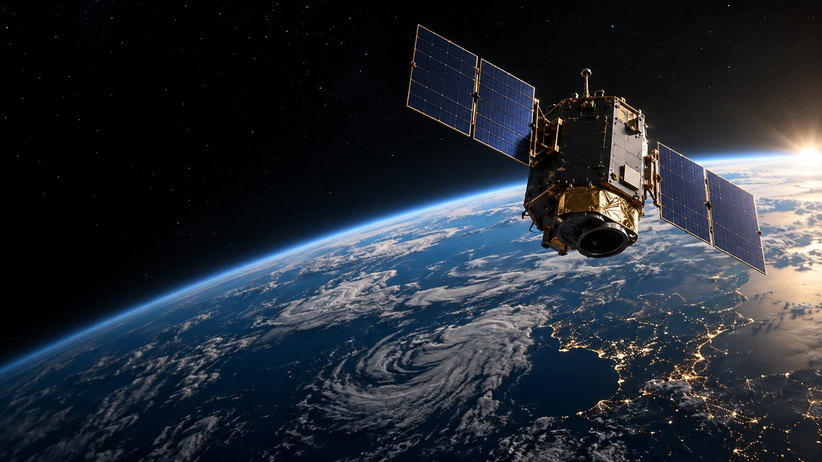 Design concept · Development programLandsat 9 · NASA visualization ↗
Satellite platforms, geospatial imaging payloads and the ground systems that connect them.
Our space ambition begins with the same components we develop on Earth: sensing, onboard computation, power and trusted data interfaces.
The program will evaluate Earth-observation payloads and satellite architectures for low Earth, high Earth and geostationary missions. Each orbital design must earn its place through mission analysis, payload needs and system qualification.
Evaluate optical and complementary sensing payloads against actual resolution, coverage, revisit and data-volume requirements.
Study onboard filtering and inference, with radiation, thermal and power qualification treated as mission-specific requirements.
Design the interfaces between spacecraft, ground stations and sovereign compute systems, preserving source evidence throughout the data path.
Ground stations link spacecraft operations to usable information. Tectivum’s roadmap includes receive and transmit terminals, tracking, mission interfaces and the hardware that connects observations to compute.
Capacitas provides the intended computer and federated infrastructure layer. Talvium provides the broader land and infrastructure context. Tectivum’s responsibility is the physical equipment and its integration.